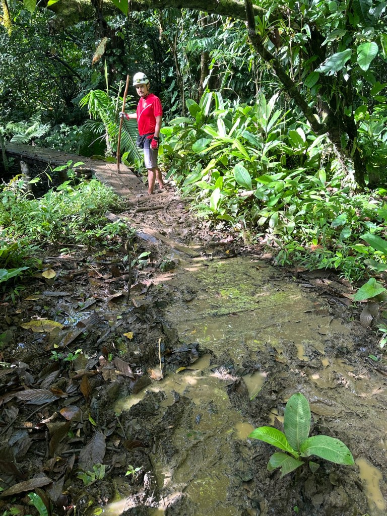
As many of you know, this Wild Woman likes to go wandering off the beaten track and that’s exactly what the day was beckoning. I decided to check out the indigenous community at Calovebora on the Caribbean coast. The road to Calovebora was only completed a few years ago, finally connecting the indigenous communities that live on the Caribbean side of the province with the rest of the country. Prior to this, community members had to take their chances by paddling up the Rio Calovebora, then traversing muddy tracks to get to civilisation. Now they have a sealed road which is regularly plied by local buses from Santa Fe.
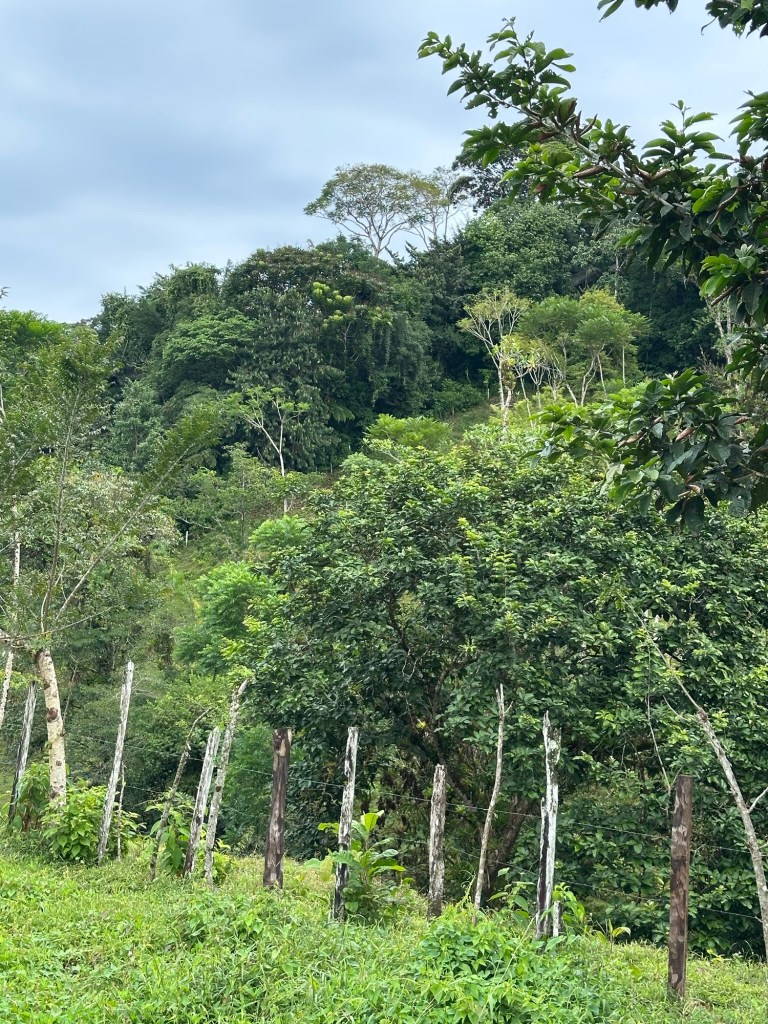
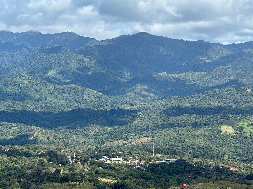
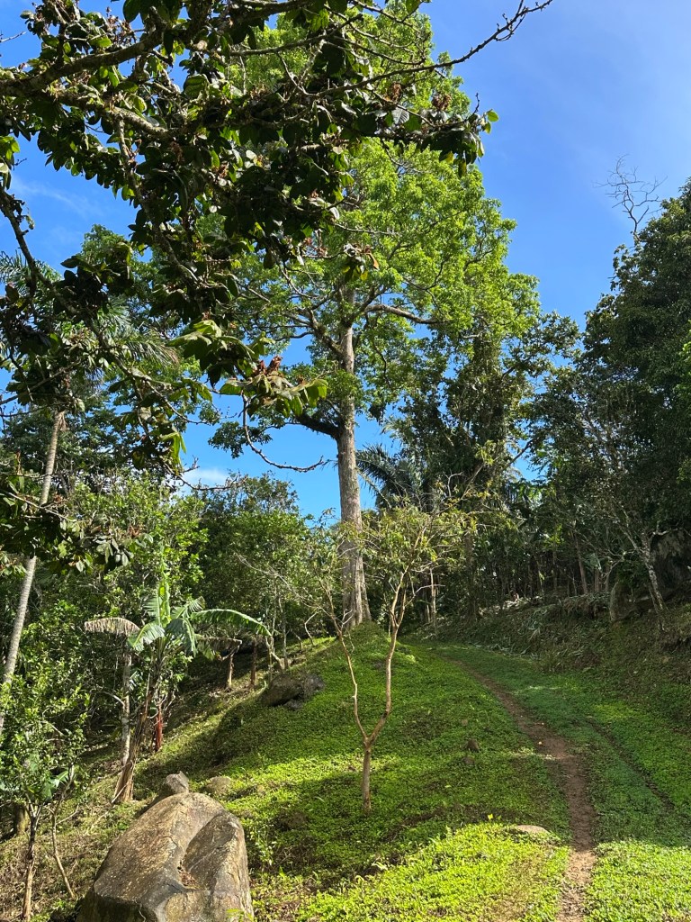
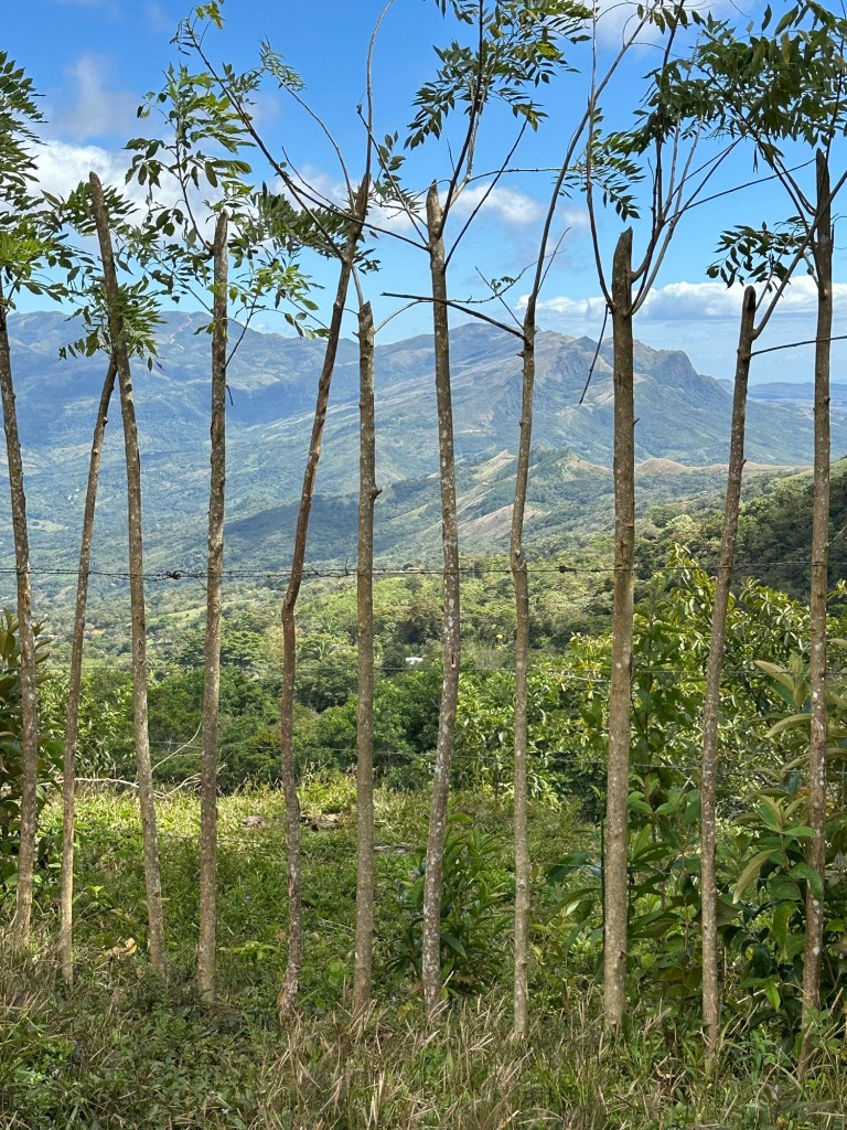
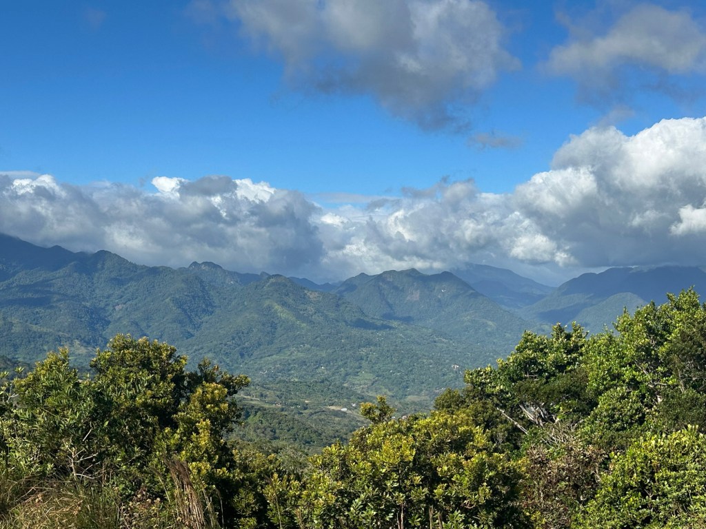
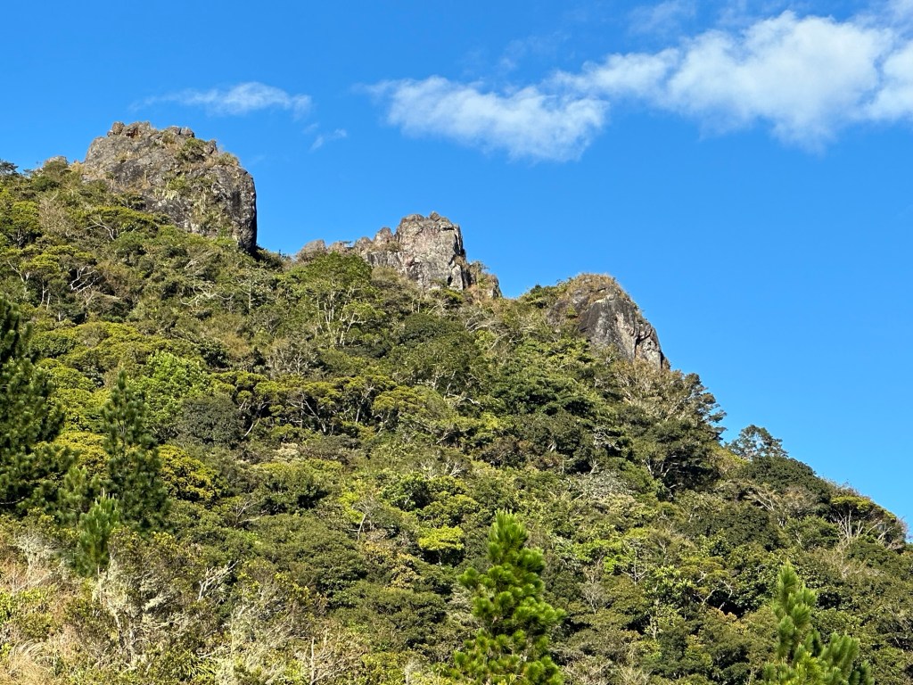
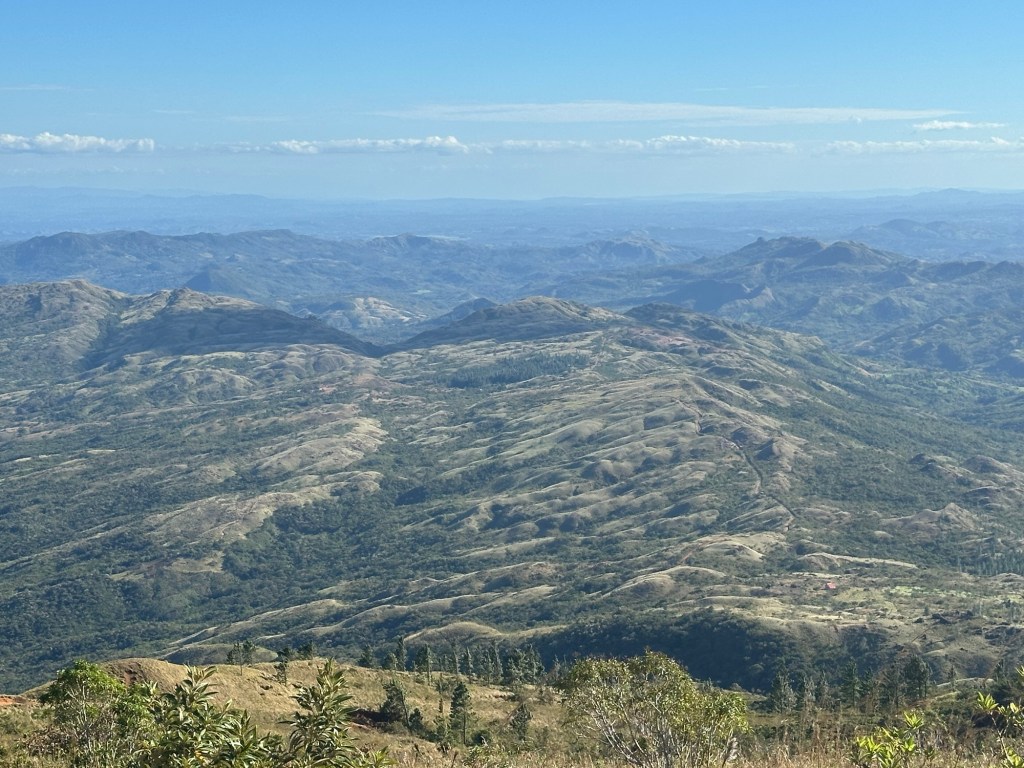
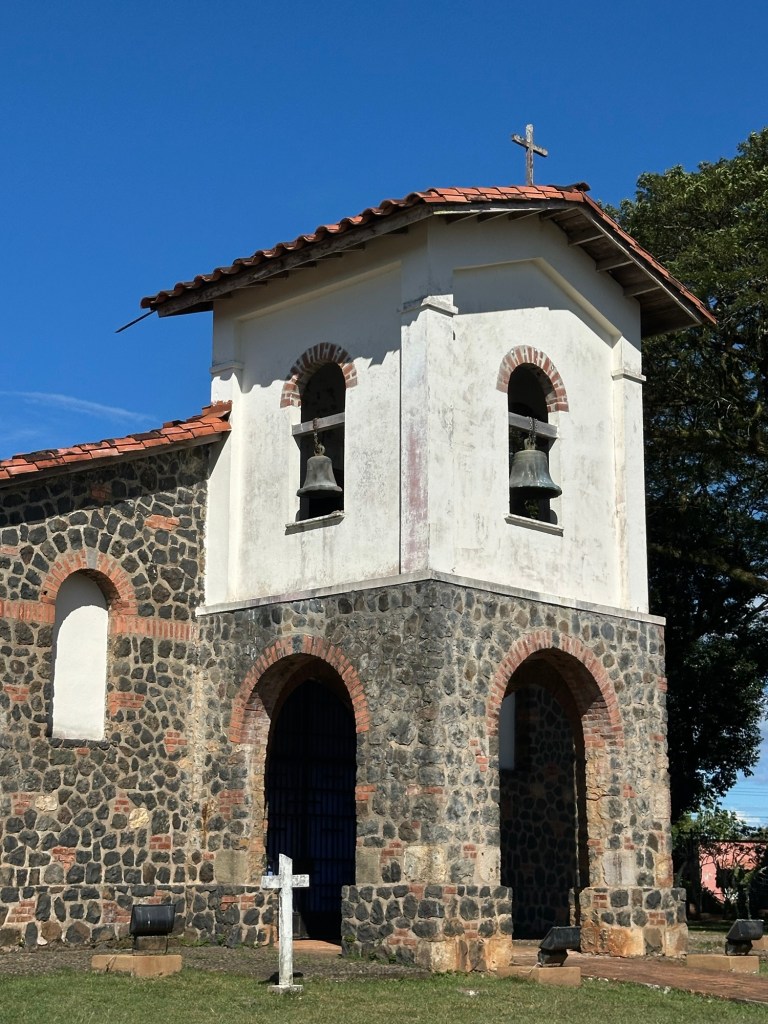
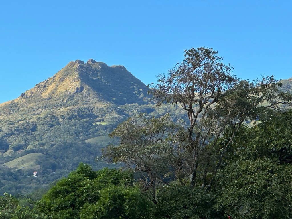
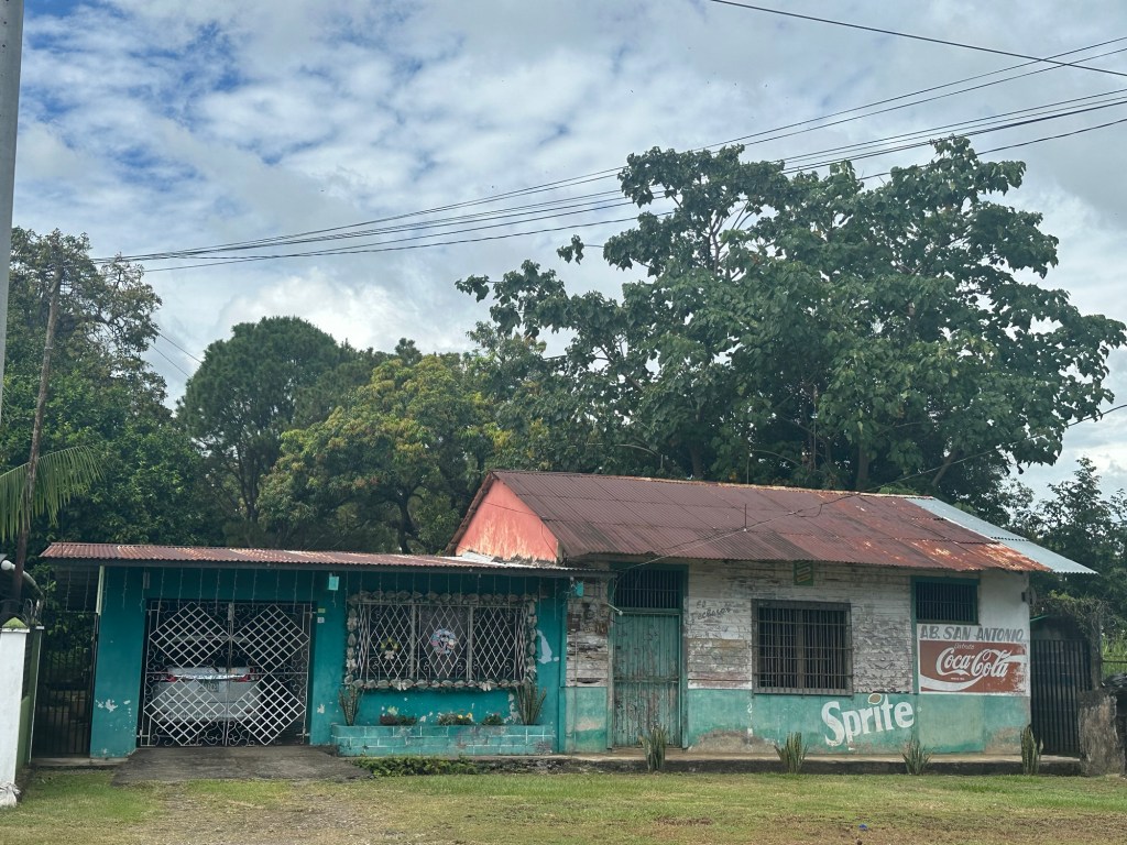
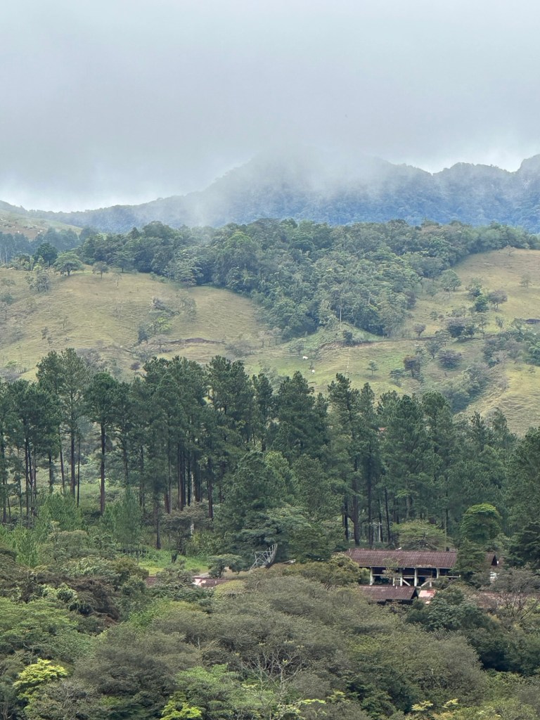
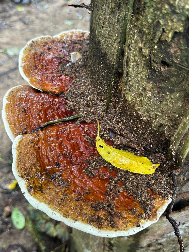
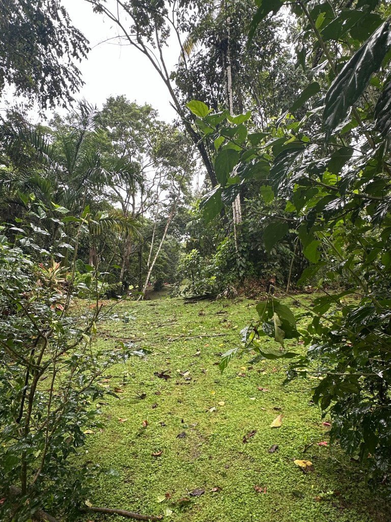
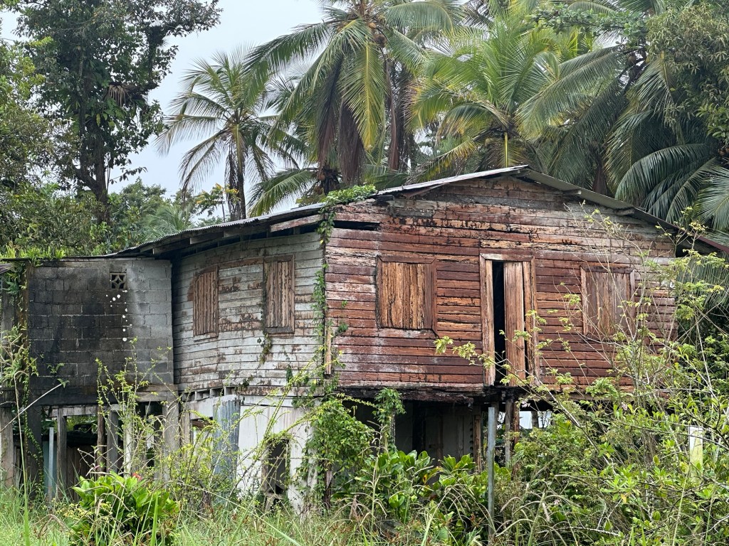
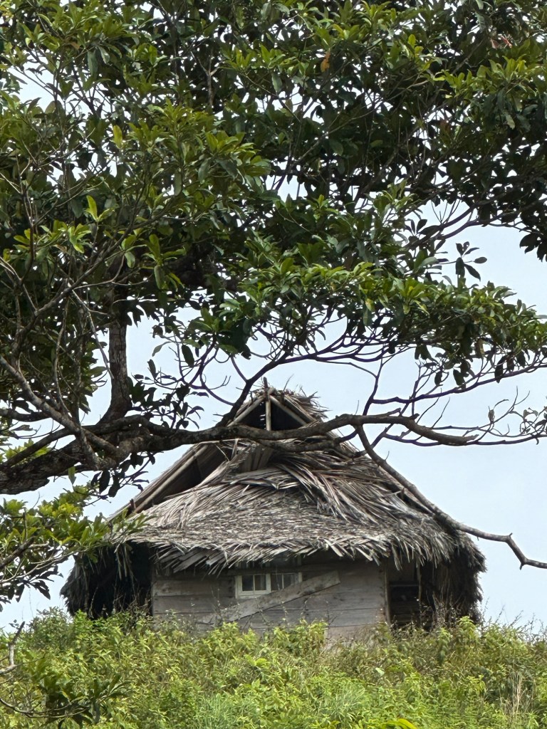
The road to Calovebora heads north through Parque Nacional Santa Fe, threading through mountain passes and skating past small rivers cascading down heavily forested cliffs. The way is slow due in part to the numerous tight turns and steep climbs, as much as to the constant exchange of passengers along the road. Tiny, wooden shacks with thatched roofs house the indigenous families that live along the route. The women in traditional dress of simple, brightly hued smocks with contrast braid, usher their offspring on and off the bus.
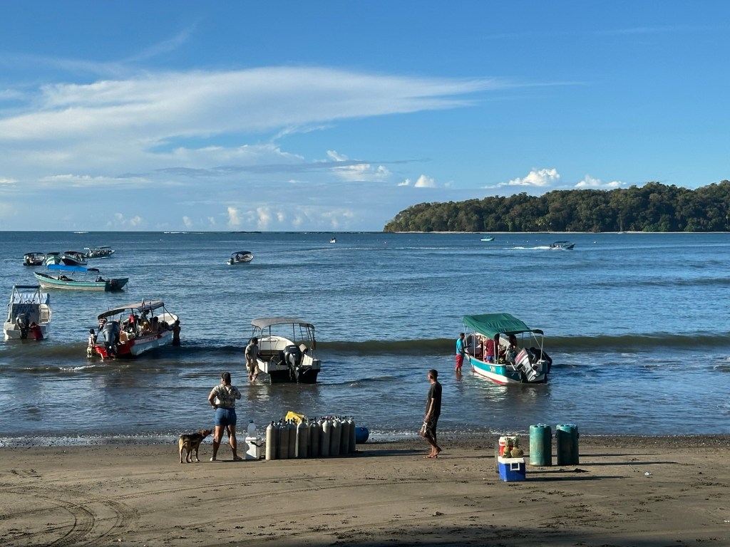
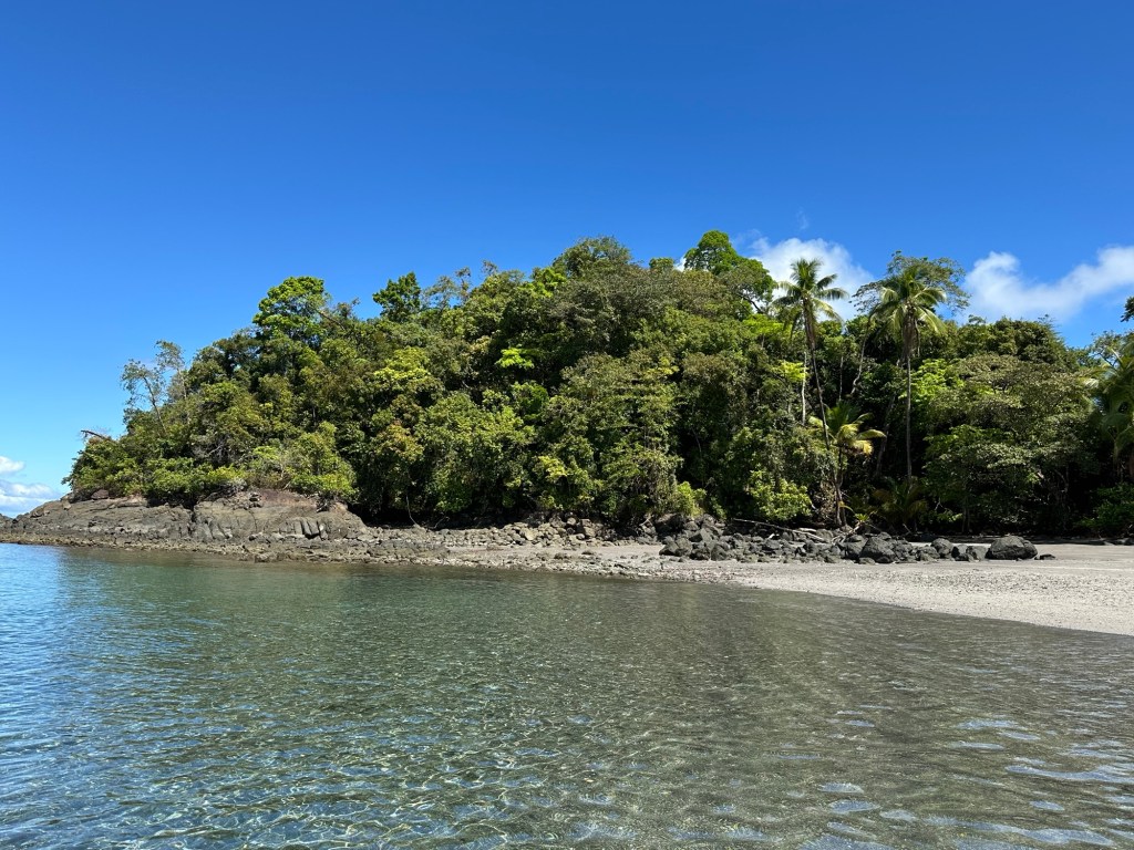
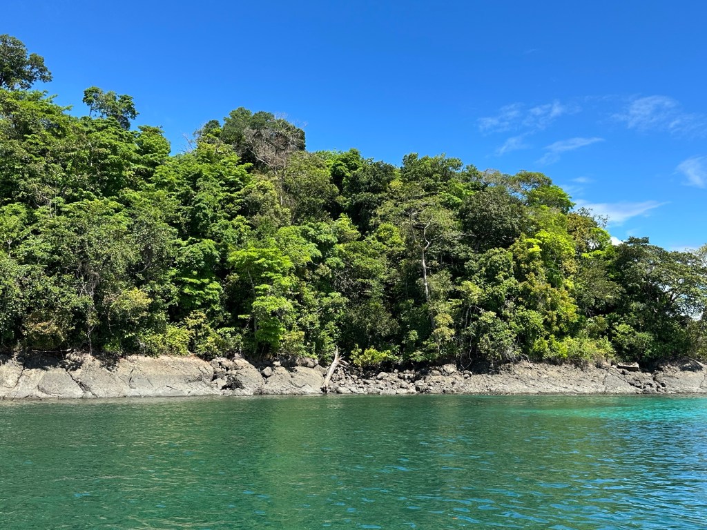
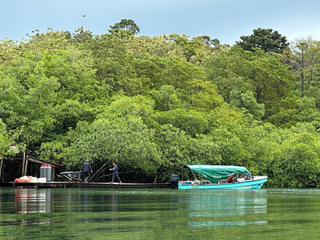
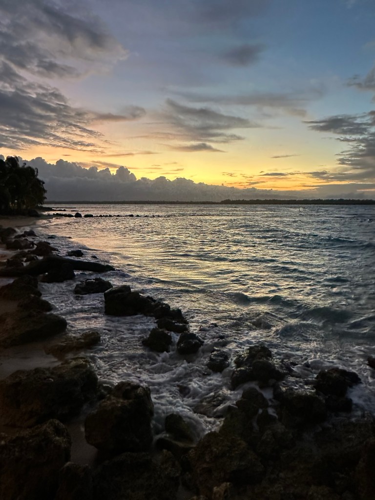
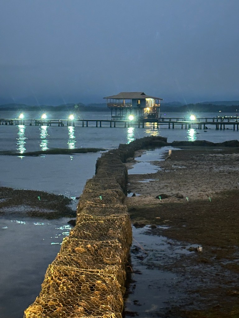
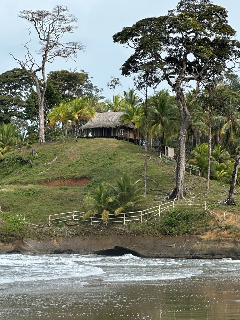
After a couple of hours, the bus pulled up in a small community at the end of the road. The Caribbean Sea was just before us; its turquoise waters gently lapping the coffee coloured sand. I decided to have something to eat at the little fonda behind the bus stop and was served the tastiest fried fish I had had in a long time, washed down with freshly squeezed orange juice. There wasn’t anything else on the menu, but you couldn’t get any fresher than what I was given. I got chatting with the owner who told me about the impact the road has had on the community. He also confirmed what I suspected – very few foreigners venture out to these parts.
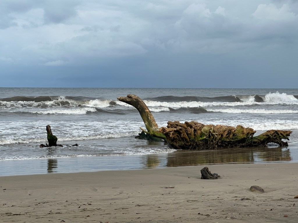
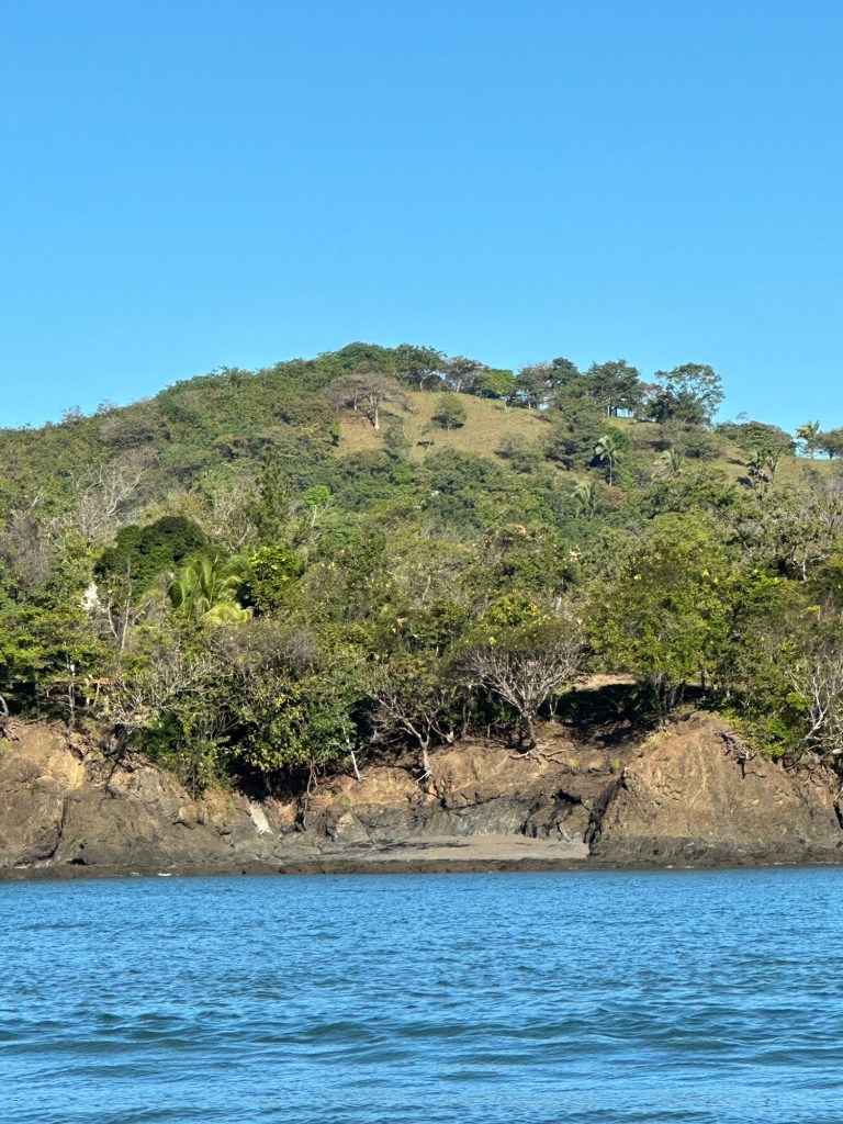
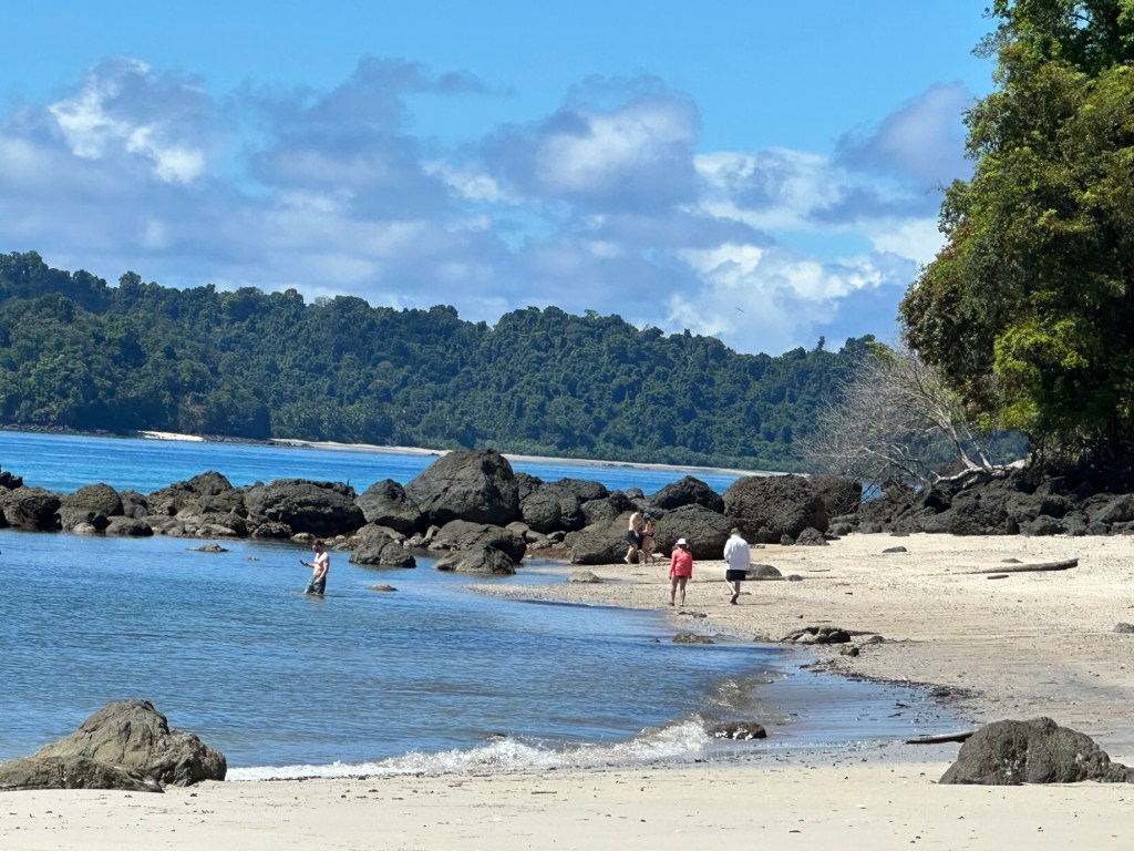
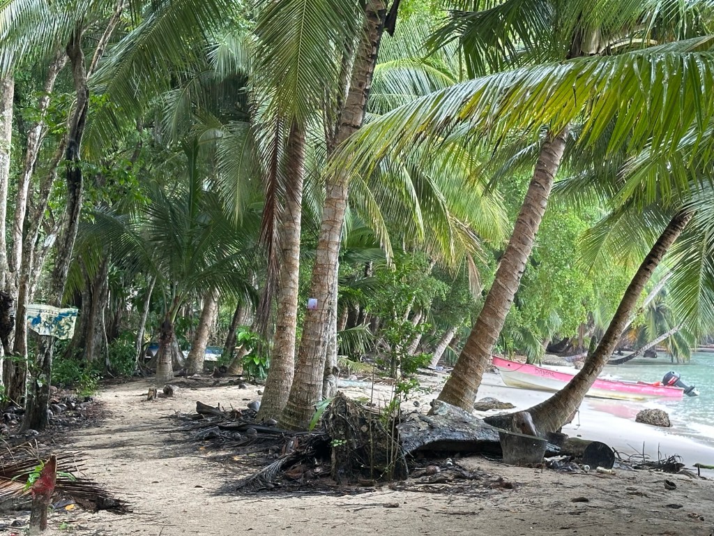
After lunch, there was time for a walk along the beach. Calovebora is situated at the mouth of the Rio Calovebora so it was only possible to go in one direction. Crossing a small stream which was disgorging its waters into the Caribbean, it was possible to walk about a kilometre along the beach before coming to impassable sea cliffs.
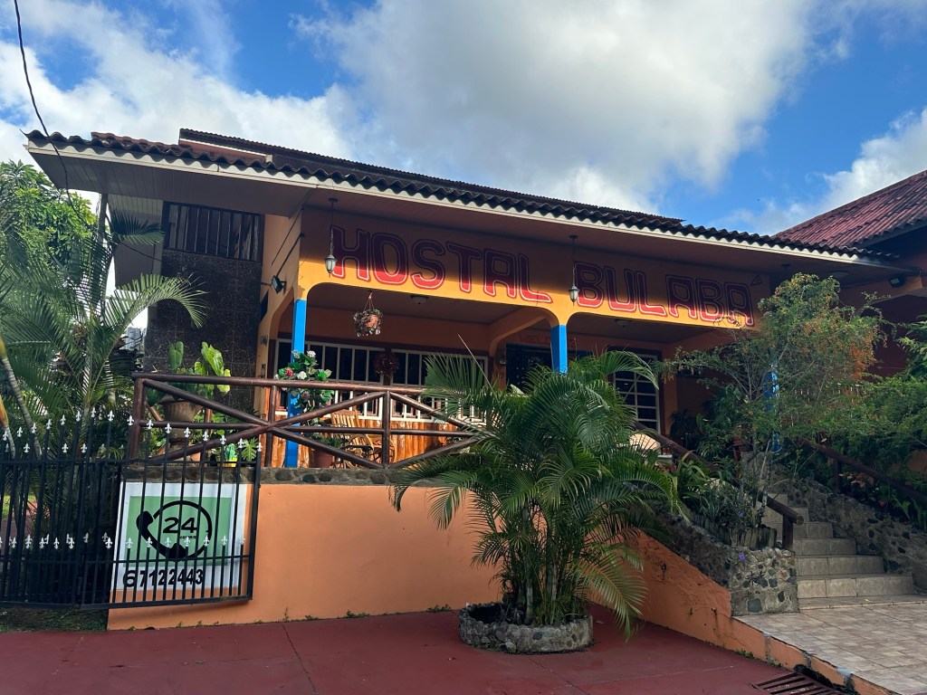
Catching the bus back to Santa Fe was just as enjoyable the second time around as I kicked back and watched the various lush scenes unfold before me. On arrival back in Santa Fe, I had planned on grabbing a couple of cervezas to take back to the hostal to sustain me while I wrote a long overdue report for the Australian Speleological Federation, but was startled to learn that no alcohol could be sold that day. On enquiring, I discovered it was because it was the Day of Martyrs. I could fully appreciated a day of mourning, recognition and remembrance for the poor souls who lost their lives fighting for a cause deep in their nationalistic soul, but was unsure why it was necessary to be made to feel a martyr myself. Fortunately, back in the hostal, upon hearing of my plight, a kindly visiting señora gave me a cerveza from her own personal stash. And so the report could then be written.