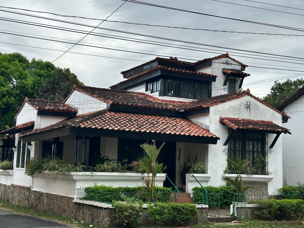
Hostel Casa Relic was a surprisingly cheap option in a very overpriced part of Panama City. But there was very good reason for that. No water for a shower the previous night and none for a shower in the morning. Again. It wasn’t that there was never any water. If one got up at say 3am to have a shower, one could relish in its cool delights. However, at more conventional times slots, there was none to be had. Another issue had arisen which led me to decide enough was enough though. The bathroom floor was flooded with what I can only assume was the leaking, unflushed toilet which led me to having a sponge bath in my room and a firm decision to skedaddle this sub-standard situation.
An on-line search refused to reveal any affordable options in the area where I was, so I widened my search and found the hotel Mike was staying at in Amador. I could get a room there at a heavily discounted rate which although roughly double what I was paying at Casa Relic, was still significantly cheaper than most other options. And it had water – hot as well as cold. Literally on tap! And doors that securely locked. I booked two nights, messaged Mike to say I was moving over, then grabbed my pack to flee the scene.
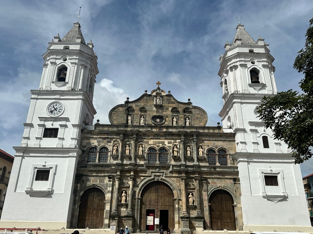
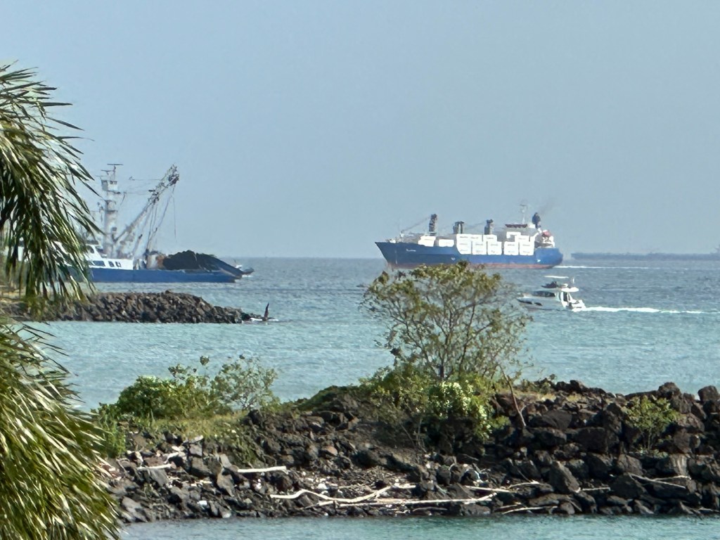
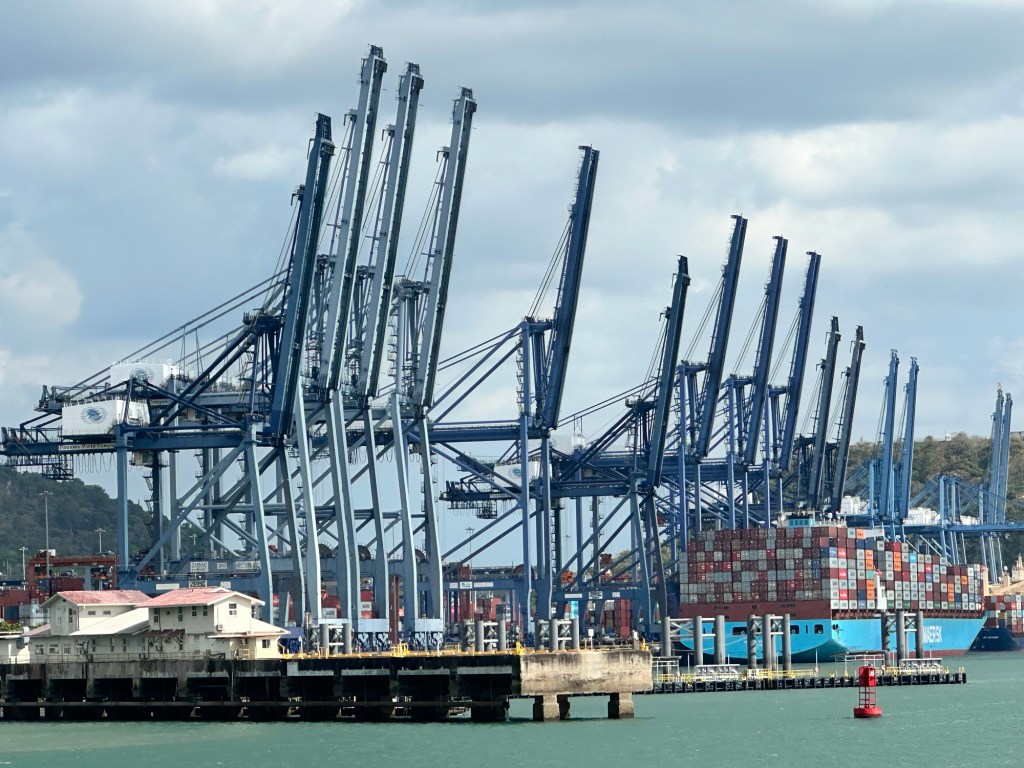
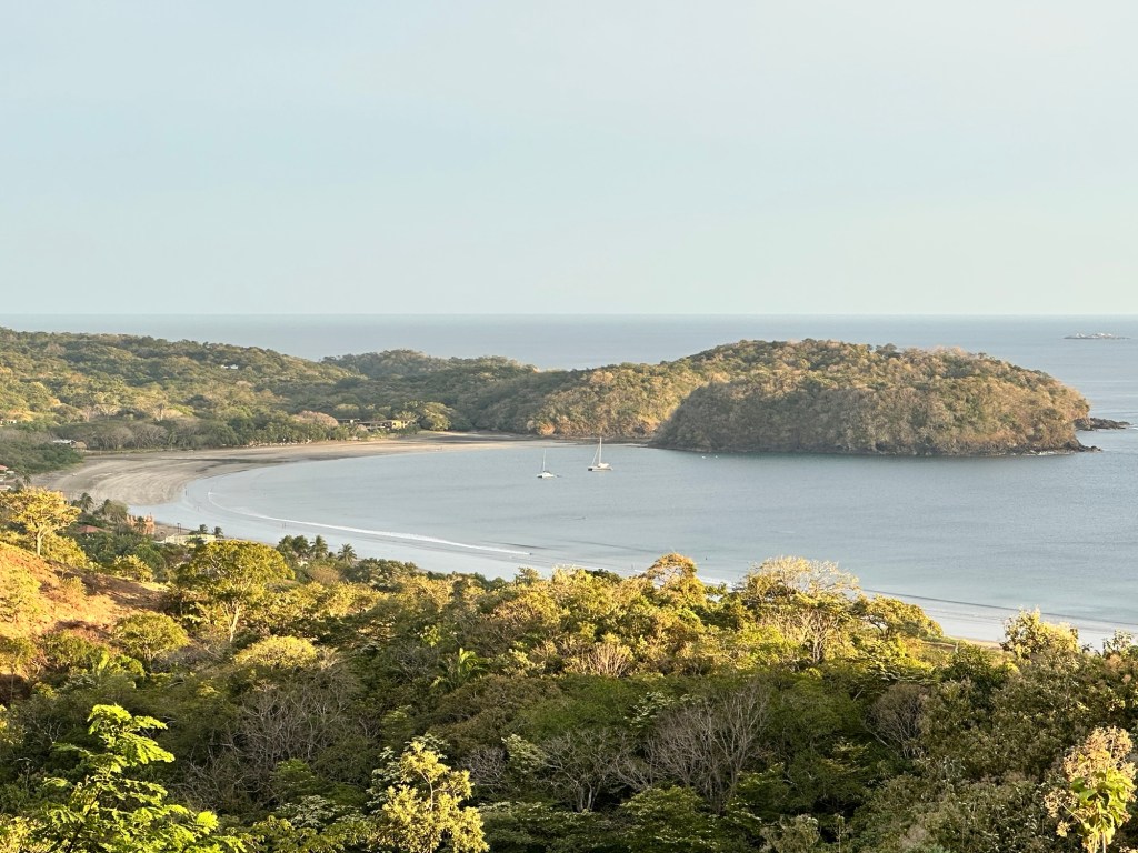
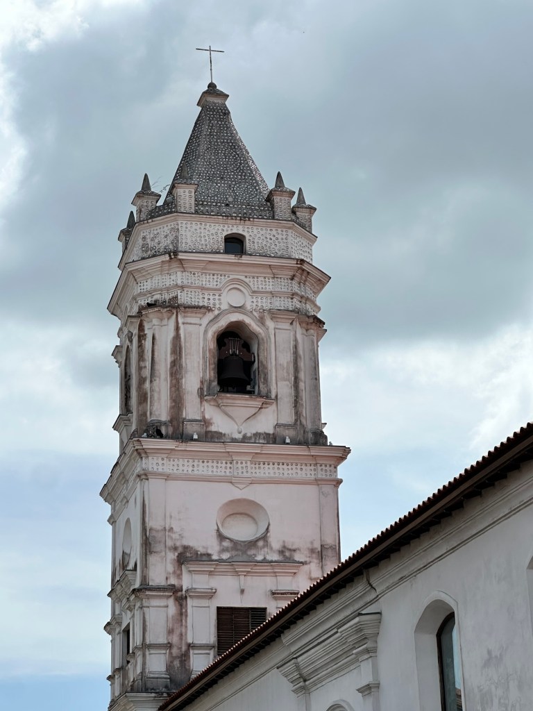
I had to wait until 3pm to check in so left my pack in Mike’s room while we went to a restaurant next door for lunch. Marinn Tropical Vibes Hotel is situated on one of a cluster of tiny islets joined to the mainland by way of a causeway built using rocks excavated from the Panama Canal. In essence, it forms part of the southern terminus of the Canal as all shipping needs to pass it to get into open waters. Moreover, shipping awaiting transit through the canal anchor just offshore.
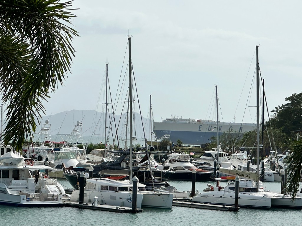
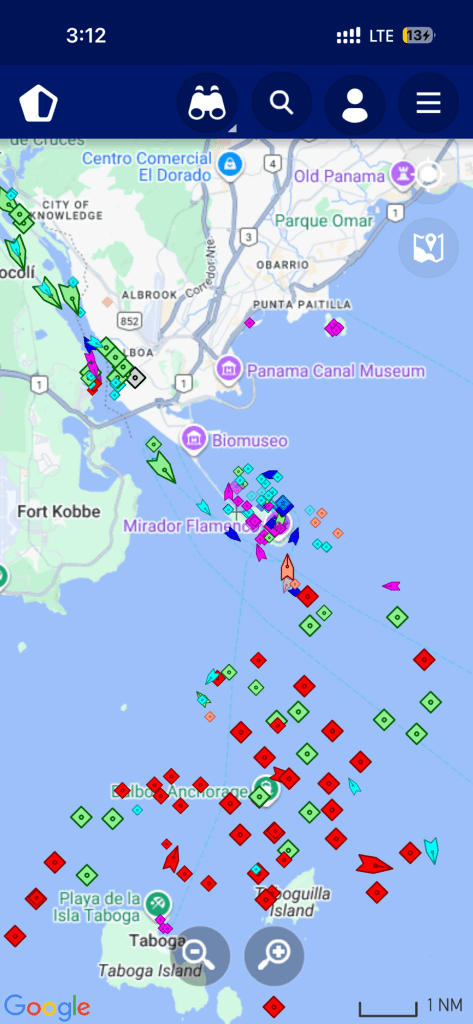
Mike introduced me to the MarineTraffic app which shows real time positioning of shipping using information gleaned from AIS receivers. The app also provides information about the ships, including a photo. After lunch, we returned to the hotel to drink beers and check out which ships were passing us after exiting the canal. The rooms at our hotel faced out over the shipping channel, so we had a front row seat to the passing parade of container ships, oil/LPG bunkers, cruise ships, tugboats, and assorted pleasure craft. All from the comfort of Mike’s balcony.
That night I slept like a baby after luxuriating in a hot shower with the aircon up. I usually stay in dorm rooms or cheap local hotels with cold showers, fans and a mattress of dubious quality and history, so this was a salubrious upgrade. I couldn’t believe the price I was getting this room for. Sometimes Booking.com really does comes through.