
This great little hostel had breakfast included, so I was able to tuck into fresh fruit, omelette and coffee prior to starting my day trekking though the Santa Elena Cloud Forest Reserve. I was hoping to be able to take a public bus out to the reserve, but the only option I had was by shuttle bus. Still it was cheap and convenient so I didn’t mind too much.

The shuttle picked me up from outside my hostel and after picking up another few people, we drove out to the reserve. The region around Santa Elena is extremely hilly and our van slowly wound its way up, down and around the poor roads. It was remarkable to see all the private reserves, adventure parks and properties offering a myriad of tours along our route. It would seem that large swathes of Costa Rica are being developed for the tourism market; although in the main, they are maintaining the rainforest.
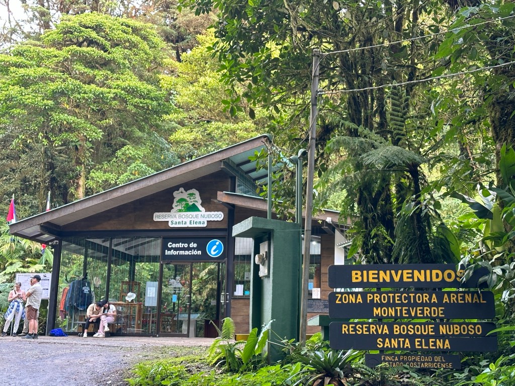
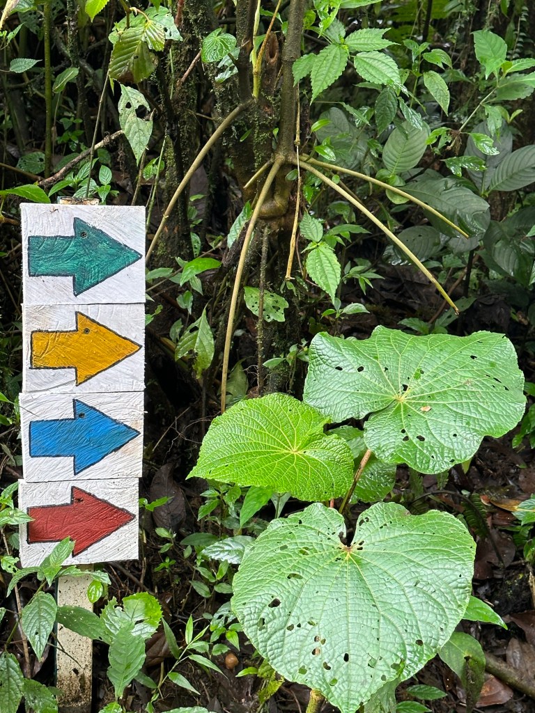
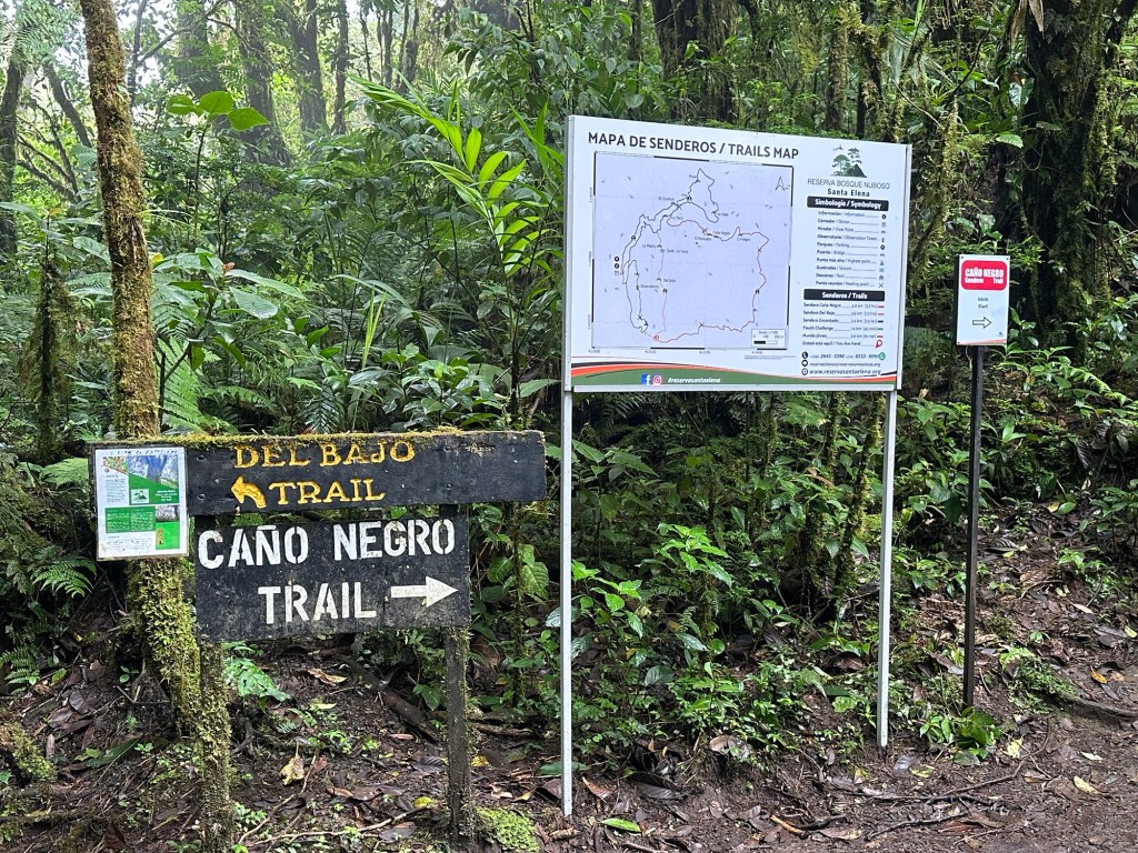
Arriving at the reserve, we had to patiently wait our turn for a briefing from staff in the information centre. The trails were explained as were the conditions of entry. We had to take a photo of the map as no maps were provided. Reserva Bosque Nuboso Santa Elena (Santa Elena Cloud Reserve) is a community administered reserve of some 310 hectares with 13kms of trails winding their way through a portion of the park. This is not as popular as the tourist encrusted Reserva Bosque Nubosa Monteverde down the road which meant for a quieter, more tranquil experience.
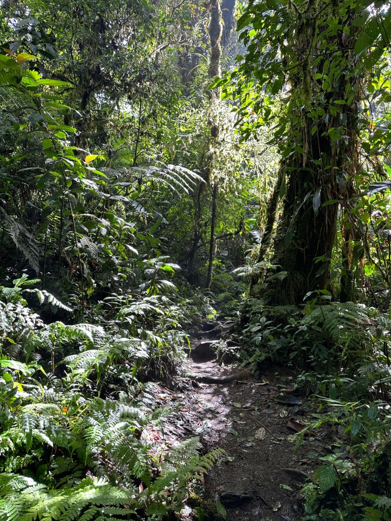
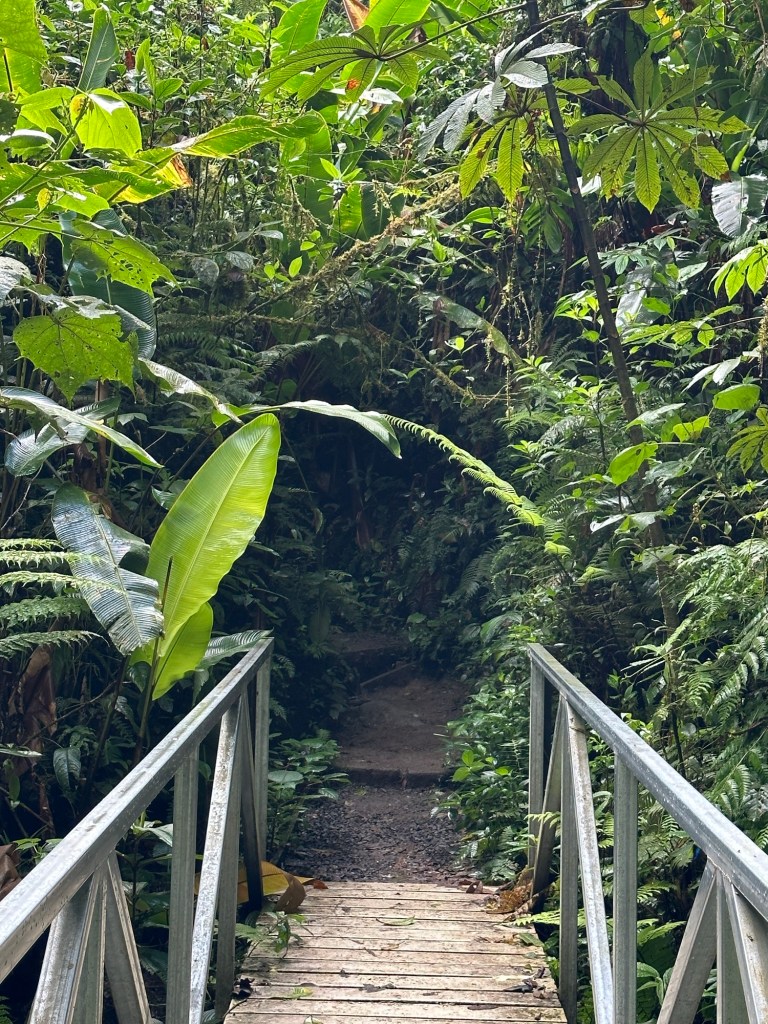
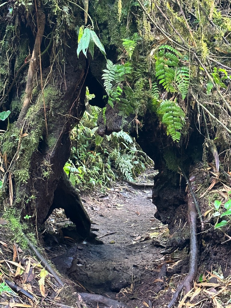
I decided to start with the ‘Sendero Encantado’, a 3.5km circuit, so headed to the trailhead. I followed a neat concrete pathway which led to the trailhead and was pleased to find a more traditional single-file dirt track leading off. The trail wound its way down into the valley, crossing little bridges here and there. I only came across a few other people the whole time on the trail so could really enjoy the solitude and ambiance of this high elevation forest. Surprisingly, the only sound you could hear was a faint humming of insects and the constant slow drip of water permeating every inch of the forest. I was expecting to hear birds, but only saw the occasional one flitting through the forest. And yet if you looked closely, life was abundant.

Back at the park entrance, I decided to stop for coffee at the the little cafe there before continuing on to complete a loop which would take in the remaining trails. Sipping my coffee on the cafe verandah, I watched a myriad of birds flit in and out of the forest which lay just on the other side.
Heading back out, I was stopped by debris coming down from high in the forest canopy. Looking up, I could see the source of the destruction; a small troop of Capuchin monkeys were devouring the hearts of epiphytes and discarding the rest onto the track oblivious to consequence. I watched their antics for a few minutes before making my way to the start of my next circuit.
The second circuit I planned on completing took in the rest of the trails, totalling about 10kms. I started on the easy, concreted ‘Mundo Joven (Child’s World)’ trail, before veering off onto the start of the ‘Youth Challenge’ trail. This was more of a traditional dirt trail and gradually wound its way along the side of a hill before starting to ascend. At the point at which it turned to complete its loop, I continued straight ahead on the ‘Del Bajo (low)’ trail until it too turned north. Then it was on the most challenging of the five trails – ‘Canó Negro (Black River)’.
This trail, being the longest and most challenging one, had very few people on it. Some rudimentary track hardening by way of wooden blocks and planks and concrete filled sacks prevented you from sinking into the mud in places. Other places required you to step up or down steep steps either carved out of the mud and reinforced with timber or climbing down a cascade of tree roots. The trail ascended again and led to a lookout of magnificent proportions. Overlooking the mountains and a nearby volcano, the low cloud cover threatened to obscure the vista.

This was where the trail became its most challenging as it wound its way up and down various little valleys. All the time, you could hear the sound of water crashing down some distant cascade, interrupting the gentle dripping soundscape. After a series of small bridges, the trail began to climb again out of the valley.

I eventually reached the end point of this trail and retraced my steps along the first trail I walked to get to the other end of the ‘Del Bajo’ trail. I quickly worked out that they had set this trail to be walked in the suggested direction so as to be all downhill. Unfortunately, I hadn’t looked at the contour gradients on the map before deciding which way to go and so faced a long, slow slog up the hill in the heat and humidity. It was a pretty trail though and I did enjoy it, but was well and truly glad when it ended.
Back on the ‘Youth Challenge’ trail, the pain subsisted as the trail continued climbing to reach the highest point in the reserve. At 1725m, I was then on the downhill run. Quite literally as by now it was getting close to when I needed to catch the last bus back to Santa Elena. Unsure of the terrain between me and the reserve entrance, I decided to jog a little along the easy decline. I decided I had time to climb the observation tower en-route and was glad I did. The views were spectacular and the encroaching clouds made for magnificent and mystical viewing. After a few quick photos, it was back down and powering back to the visitor centre.

I made it back in time for the transport shuttle, happy I had managed to walk all 13.5kms of trail. Back in town, I got dropped off in the centre to find somewhere for an early dinner and a couple of bevies. It had been a long day and I was looking forward to a hot shower and an early night.
